
Extraordinary Gold Properties
A curated collection of permitted and producing gold mines — each verified, mapped and underwritten with satellite intelligence.
Every listing opens onto the live MagmaMines platform, real terrain, claim boundaries, ownership, assay data and resource overlays, alongside the inventory and the plan.
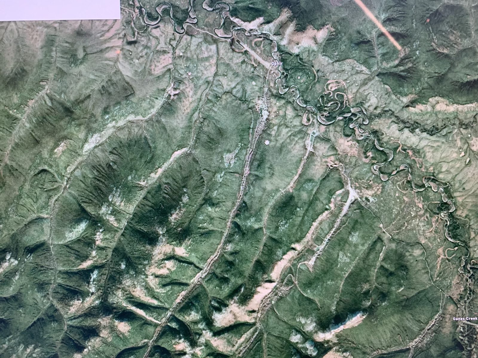
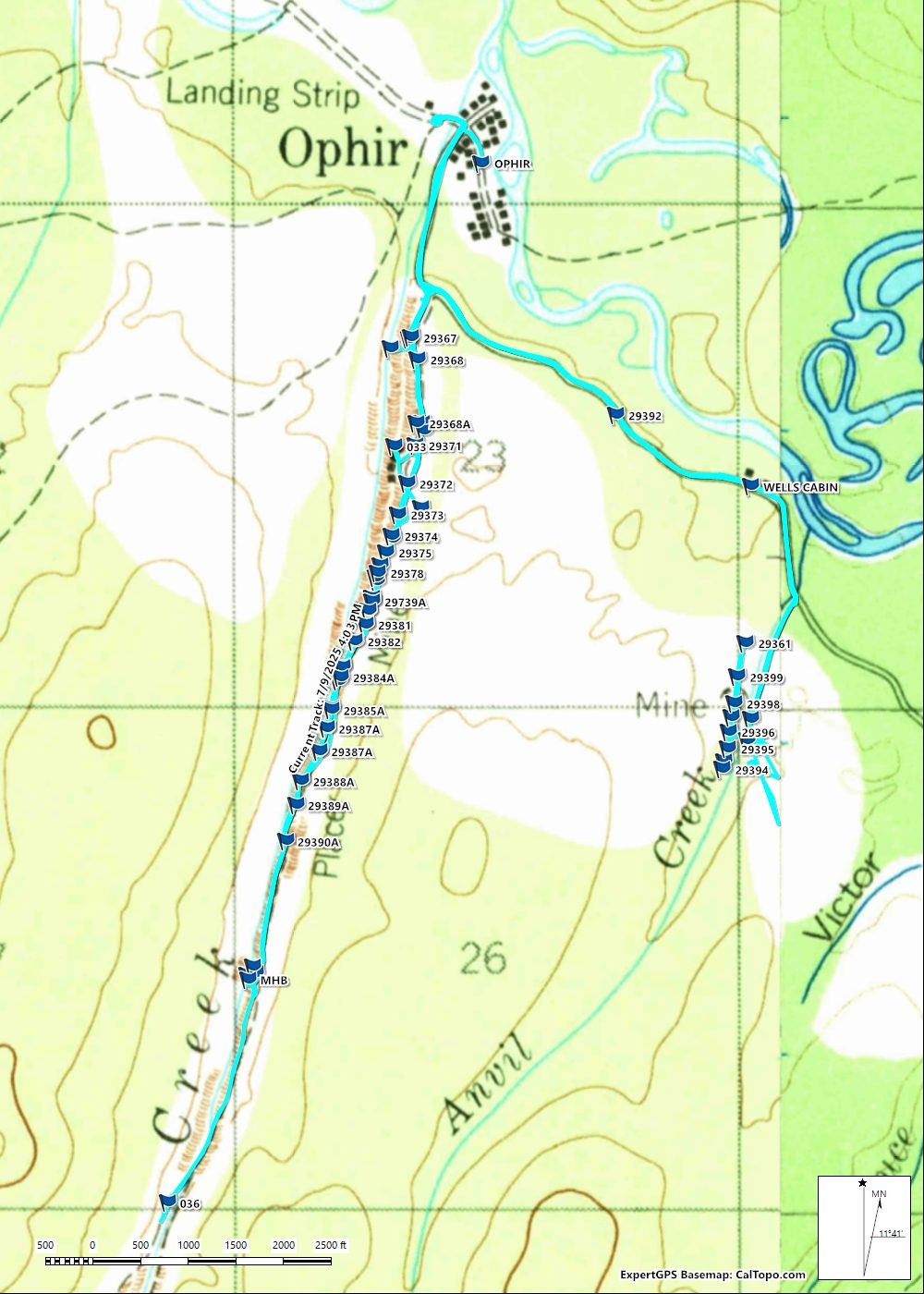
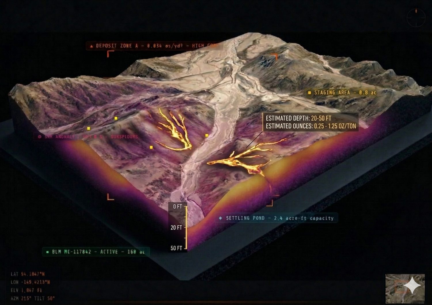
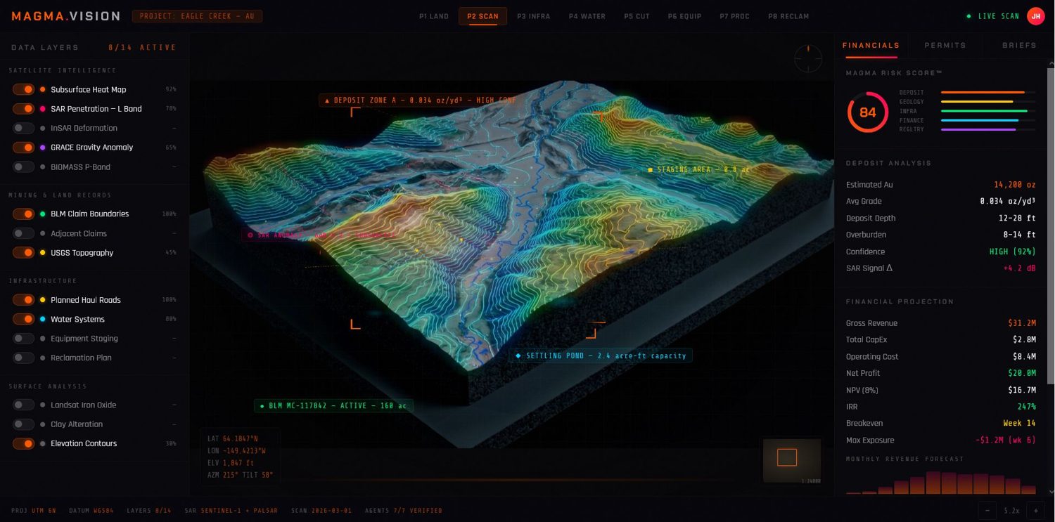
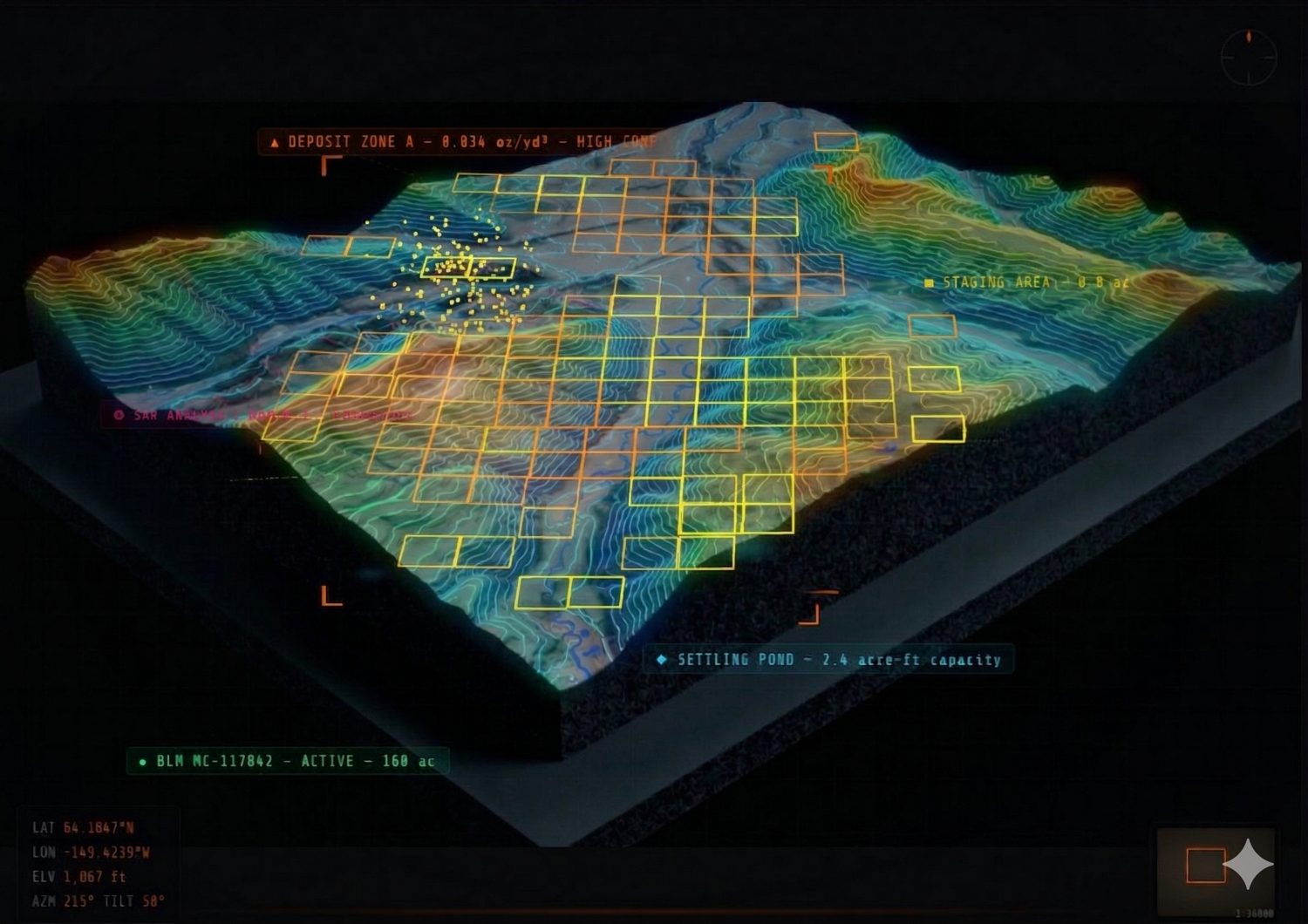
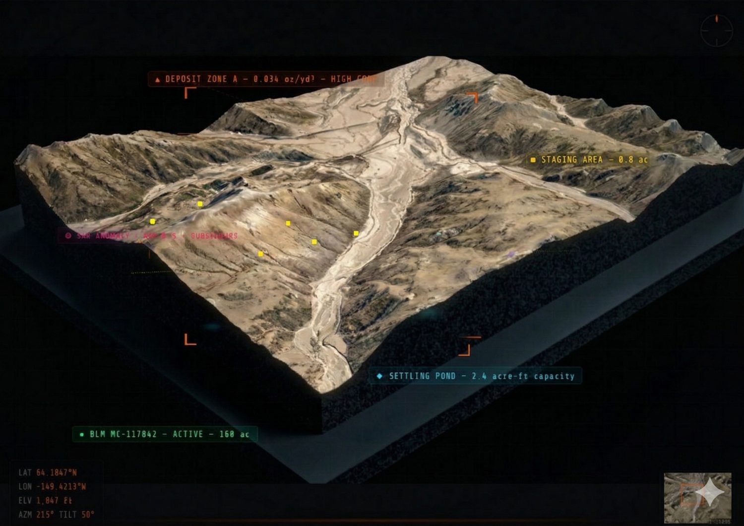
Real 3D terrain, claim boundaries, ownership and resource overlays for every property, the same platform built for active mine operators.
Permits, assay certificates, historic production and equipment inventories, collected, organized and accessible to qualified buyers.
A 0–100 confidence metric synthesizing geology, grade, infrastructure and title into a single signal you can compare across listings.
We scan, map and underwrite your mine, then present it to a private network of qualified acquirers.